Urban planning has always focused on improving the way people, spaces, and objects interact. Yet, translating these complex dynamics into a livable environment is remarkably difficult. Seemingly small differences in design can unleash profound impacts on the people who live in a city.
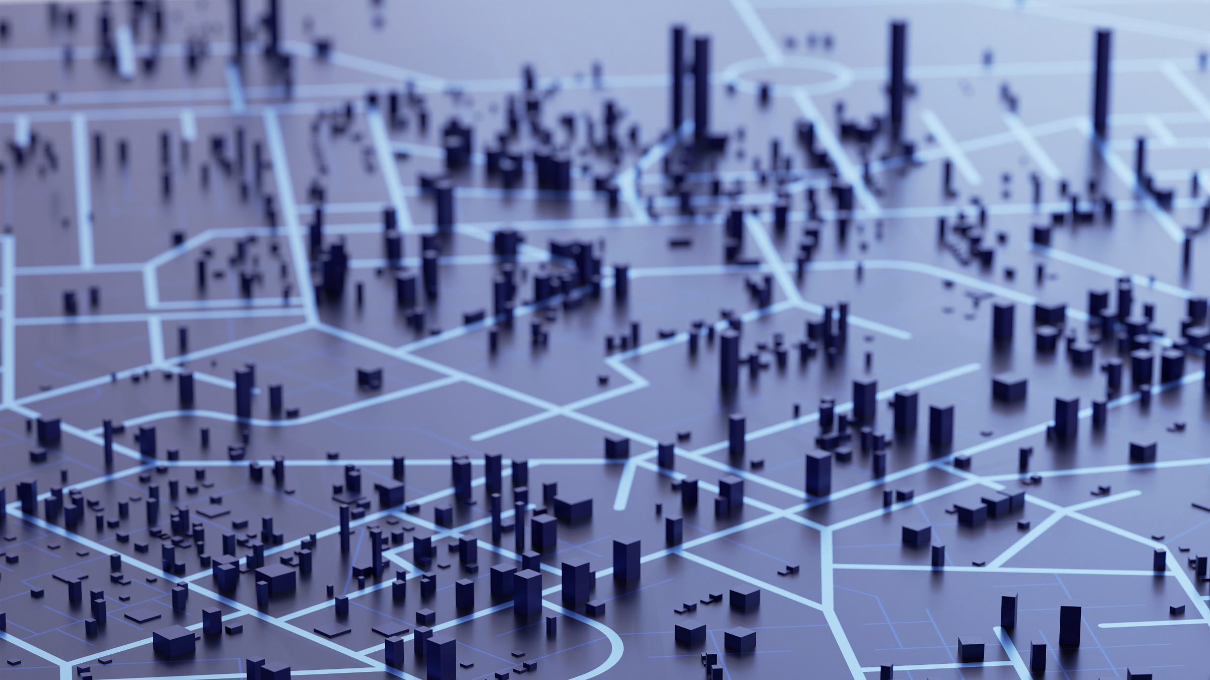
To better navigate this complexity, planners increasingly are turning to digital technology, including artificial intelligence (AI). While data-driven planning isn’t new, these tools deliver a more sophisticated framework. This evolution, referred to as algorithmic urbanism, blends traditional planning techniques with advanced analytics to address challenges like congestion, health, safety, and quality of life.
“Buildings, streets, trees, and numerous other factors influence how people move about, how economic activity takes place, and how various events unfold,” said Luis Bettencourt, professor of Ecology and Evolution and director of the Mansueto Institute for Urban Innovation at the University of Chicago. “Tools like AI and digital twins spot opportunities to rethink and reinvent things.”
This might include anything from optimizing a network of bicycle lanes to simulating zoning changes and land-use scenarios. It could also incorporate ways to improve recreation, congestion, and energy use. Yet, like other forms of AI, algorithmic urbanism introduces risks, including the potential for perpetuating historical data biases, misuse or abuse of data, and concealing how decisions take place.
Rebooting Urban Planning
The idea of using data and algorithms to design better cities extends back to the 1970s. That’s when computing tools like geographic information systems and business intelligence began to extract insights from data—and to provide more precise methods for managing urban growth.
Satellite imagery, vast databases, and environmental sensors followed. “The technology emerged as a valuable tool for strategic planning,” said Rob Kitchin, Professor of Human Geography at Maynooth University in Ireland. “It allowed planners to run detailed simulations and better understand scenarios, such as if you add a shopping mall, how will it impact traffic flow, congestion, and surrounding infrastructure.”
Now, AI is further reshaping urban planning. Machine learning, predictive analytics, generative AI, augmented reality (AR), and digital twins allow planners to rethink and reimagine spaces. “These technologies transform complicated planning documents and issues into clear language and ideas. They illustrate potential futures,” said Sarah Williams, Associate Professor of Technology and Planning at Massachusetts Institute of Technology and Director of the university’s Civic Data Design Lab.
This results in a broader, deeper understanding of cause-and-effect relationships. “You can test multiple models and scenarios in a virtual environment before you go and do them in the real world,” Kitchin said. “You can see how different factors influence both positive and negative results.” This includes issues as diverse as zoning and land-use classification, infrastructure controls, resource management and transportation planning.
Consider: Amsterdam has tapped AI image sensing and predictive analytics to enhance and optimize its vast network of bike lanes. Plugging in past data about commuter behaviors and accidents allows the city to design a better, safer transportation network. In a similar vein, Barcelona is using advanced modeling and visualization methods to improve traffic flow and pedestrian safety throughout the city.
Meanwhile, Boston and Singapore are using AI-powered tools to revamp zoning, manage building permits, and redefine land use. The latter city-state is also using the technology to factor in the effects of climate change. Robotic Process Automation, natural language processing, and other tools generate 3D simulations based on changing needs and requirements.
Digital twins are also reshaping urban planning. For instance, Los Angeles, Barcelona, and Copenhagen have adopted the technology that allows them to better understand energy use, water management, and various other tasks. Bologna, Italy, is using algorithmic urbanism to enable real-time spatial analysis, while Sydney, Australia, is tapping digital twins to enhance sustainability.
These methods unlock real-world gains. For example, ABI Research found that the use of digital twins for urban planning could save cities $280 billion by 2030.
Spotting Algorithmic Blind Spots
The path to smarter cities includes a few speed bumps, however. Data accuracy and algorithmic bias top a list of concerns. One problem: using data from past design approaches that incorporated segregation, redlining, and faulty practices can lead to flawed outcomes. “When an algorithm trains on the past, which is inevitable, you may be getting the wrong answer,” Williams said.
Without adequate controls and human supervision, these biases can perpetuate historical inequities, Williams continued. During the 1960s, for instance, numerous U.S. cities routed freeways through minority neighborhoods and located undesirable projects in disadvantaged areas. In addition, data transparency is crucial because algorithmic-based planning can either support or undermine democratic processes. “There are concerns that political leaders could manipulate data,” she added.
The black-box nature of commercial AI algorithms is also a potential problem, Kitchin noted. “In some cases, it’s difficult to understand how the algorithm was trained and how it works.” As a result, many cities—including New York, Barcelona, and Madrid—are moving away from commercial applications and toward open source models, he said. “There’s a growing focus on technological sovereignty and serving citizens first and foremost.”
The bottom line, Bettencourt said, is that humans must maintain oversight. To build public trust and accountability, urban planners should clearly explain how algorithmic decisions take place and how they improve processes. “Without transparency, these tools can risk eroding confidence and democratic engagement rather than strengthening them,” he said.
Experts also express concerns that more advanced digital tools could trigger a greater AI divide. Not surprisingly, wealthier urban areas like Amsterdam, Barcelona, and Singapore have the money and expertise to put AI to work, while cities in developing nations frequently lack the resources and data to build out next-generation algorithmic planning frameworks.
Zoning in on Algorithms
One potential workaround for a lack of data or biased historical data is synthetic data that represents ideal outcomes, Kitchin said. However, it can also introduce questions about data quality, and it can fuel political conflicts. “Different groups and political parties may have entirely different ideas about how to create synthetic data that leads to desirable outcomes,” he said.
Nevertheless, the hope remains that algorithmic urbanism—the right balance of automation and human accountability—will contribute to more livable and sustainable urban environments. Concluded Williams: “AI can spot things that a human wouldn’t see and assemble information in ways that would otherwise require enormous time and resources.”
Samuel Greengard is an author and journalist based in West Linn, OR, USA.


Join the Discussion (0)
Become a Member or Sign In to Post a Comment