Citizen Science (CS) leverages the collective efforts of non-specialist/ordinary volunteers in different research tasks, such as collecting, analyzing, and classifying data to solve technical and scientific challenges. CS applications have attracted the attention of academic researchers due to the abundance of data created with high quality at low cost. According to an article in CERN Courier Magazine,3 CS is beneficial for the scientific community, the volunteers involved in the projects, and society as a whole.
On the researcher’s side, CS helps to achieve scientific data/metadata quickly, obtaining large amounts of valuable information that can contribute to advancing research.3 On the other hand, volunteers become aware of a scientific methodology, are recognized for their contributions, and feel satisfied for being part of a project with scientific and social relevance.2 Finally, the benefit to society comes from creating a close connection between academia and the general public, giving them knowledge of complex problems existing in a society that previously was not accessible, thus resulting in the engagement of volunteers in the search for solutions to these faced challenges.3
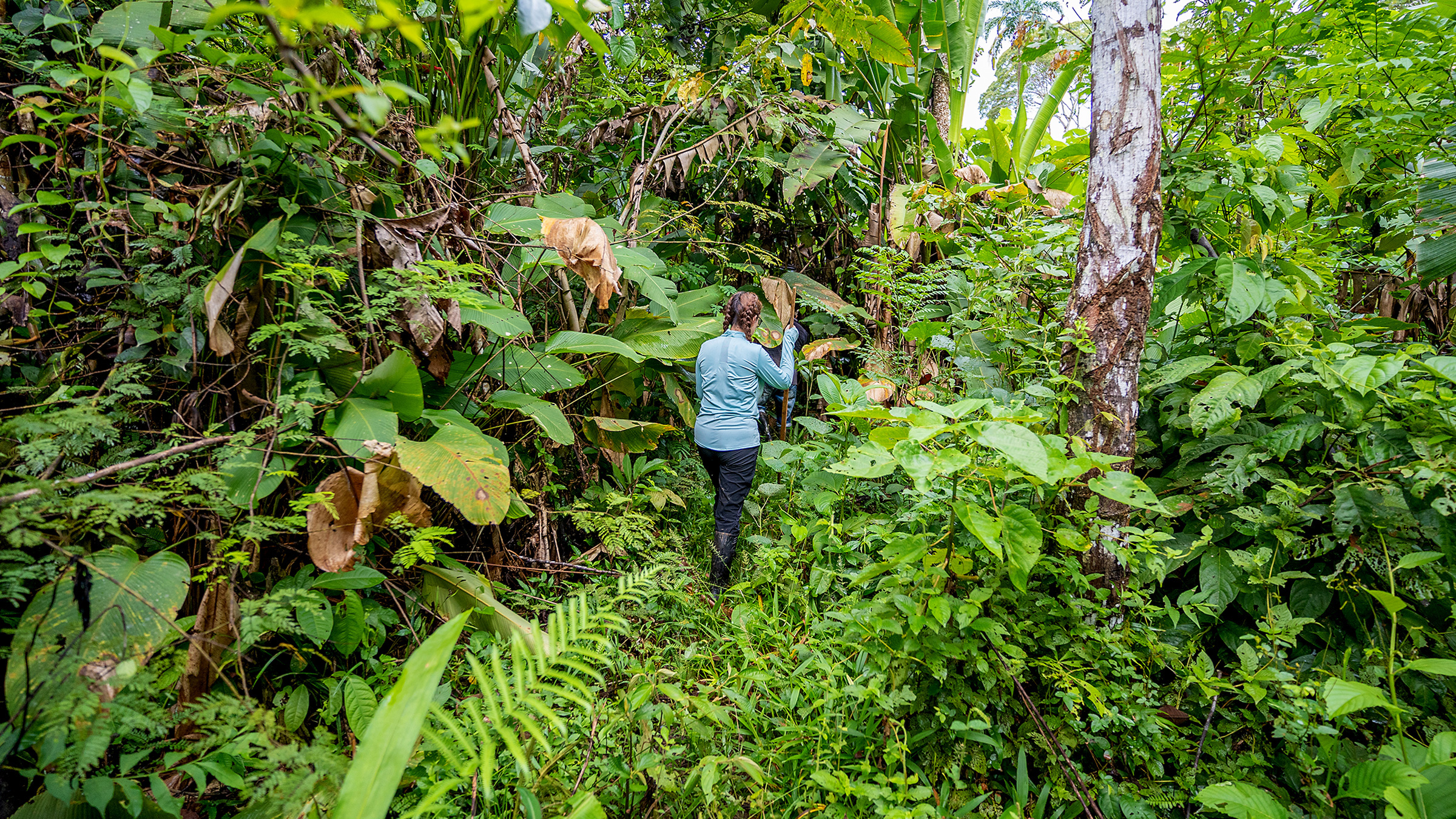
Many CS projects address sustainability and environmental science, which also could include deforestation, since millions of hectares of tropical forests are lost every year. According to “the Satellite Monitoring Project of Deforestation in the Legal Amazon” (PRODES), one of the best-known and most successful monitoring programs in the world, deforestation in the Brazilian Legal Amazon surpassed 11,000 sq. km2 in the period from August 2021 to July 2022.4,5 This devastated area is 48.2% higher than the average observed in the previous 10 years. In the years 2018 to 2021, more than 45,000 sq. km2 of forests were destroyed, which represents an area larger than the territory of the Netherlands. Fortunately, in the period from August 2022 to July 2023, deforestation was reduced 22% through great government efforts, but still represents more than 9,000 sq. km2 of lost forest.5
The cause of deforestation comes from different economic factors (for example, agriculture, mining, and illegal logging), which can have irreversible and catastrophic consequences for life on Earth, such as loss of biodiversity, increased greenhouse gas emissions, climate change, desertification, scarcity of drinking water, increased diseases, and even the emergence of pandemics.6
As the conservation of tropical forests is urgent and extremely necessary, numerous monitoring and inspection programs have been created by government agencies and non-profit institutions. Most of these programs use remote sensing images (images of the Earth’s surface obtained from a distance, often from satellites), image processing, machine learning, and expert photointerpretation to analyze, identify, and quantify changes in forest cover.6 Several Latin American countries that share the Amazon Forest have implemented government monitoring systems to track deforestation. For instance, Brazil uses PRODES and DETER (Real-Time Deforestation Detection), both systems created and maintained by its National Institute for Space Research (INPE), while Peru employs the GeoBosques system, under the coordination of its Ministry of the Environment. In addition to these governmental initiatives, there are also monitoring systems run by non-profit organizations. A notable example is the SAD (Deforestation Alert System), which is operated by the Imazon Institute (Amazon Institute of People and the Environment), also based in Brazil.
Launched in April 2019, the ForestEyes Project3 aims to provide supplementary data to assist specialists from governmental and non-profit organizations in their deforestation monitoring efforts. This project uniquely integrates CS with machine learning (ML) to monitor tropical forests in Brazilian territory. In this project, the renowned Zooniverse platform hosts the CS module, in which volunteers/ordinary citizens classify specific portions (segments) of satellite images into two predefined categories (forest or non-forest areas). Next, these manual contributions are analyzed and used as training data for machine learning techniques.1 Finally, different techniques are employed to automatically identify deforestation segments in new images of an extensive forest region. This methodology based on CS and ML techniques introduces a novel computational system compared to the existing monitoring systems for the Amazon Forest. In the future, this proposed system may generate warning signals for the relevant authorities and produce supplementary data for official monitoring programs.
Currently, the ForestEyes project has received the participation of hundreds of volunteers spread across the world, who have made more than 88,000 contributions/classifications on more than 5,500 image segments during eight successive campaigns. These campaigns cover an area in the states of Rondônia and Mato Grosso (Brazil) that includes indigenous and conservation units towards eastern Amazonia, spanning the base years 2013, 2016, 2017, and 2022.2 Leveraging these contributions, the machine learning techniques achieved 91.5% of balanced accuracy in deforestation detection, including past/consolidated areas and recent deforestation, compared with official data (and ground truth) from the aforementioned PRODES.7 Furthermore, this project has demonstrated that volunteers possess the ability to classify image segments of the Amazon Rainforest with high reliability. They also can perform challenging tasks characterized by diffuse or noisy patterns, thus building a robust dataset for AI-based techniques.1 Finally, the project successfully highlighted that citizen scientists can effectively contribute to the fight against deforestation, simultaneously raising awareness of this significant challenge faced by society.

Acknowledgment
The ForestEyes project received partial funding from several sources: the Project INCT of the Future Internet for Smart Cities, supported by CNPq under grant number #465446/2014-0; CAPES, under Finance Code 001; and the São Paulo Research Foundation (FAPESP), through grants numbers #2014/50937-1, #2015/24485-9, #2017/25908-6, #2018/23908-1, and #2023/00782-0. Additionally, the National Laboratory for Scientific Computing (LNCC/MCTI, Brazil) provided HPC resources.


Join the Discussion (0)
Become a Member or Sign In to Post a Comment